
AfriqueLand on your phone.
Search a plot, open its parcel card and see how far each record has been verified. The web demo is open now on sample data; native iOS and Android apps are in development.
The web demo runs on clearly labeled sample data, not live registry records. It can be installed to your home screen as a web app.
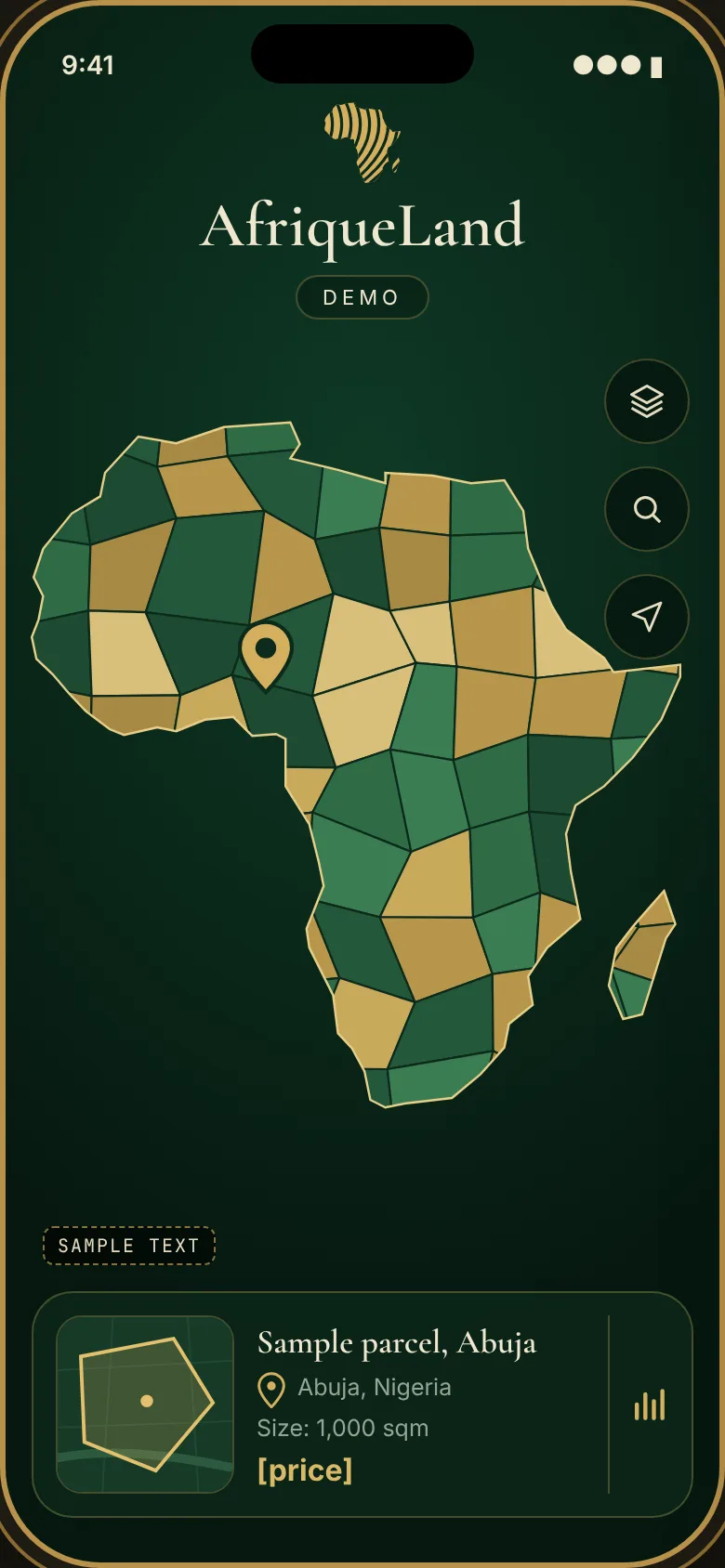
What the app does.
Map and layers
Parcel boundaries color coded by verification status, satellite and street base maps, and points of interest such as roads, schools, hospitals, markets and transport. Zoning, flood and terrain layers where suitable data exists.
Search four ways
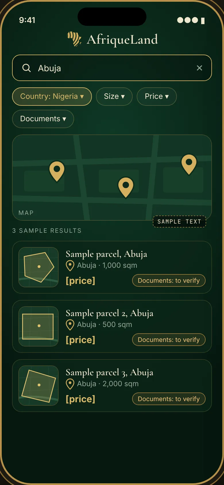
By address, by coordinates, by owner name, and by plot or file number, with filters for land use, size, price range, verification status and district.
Parcel card
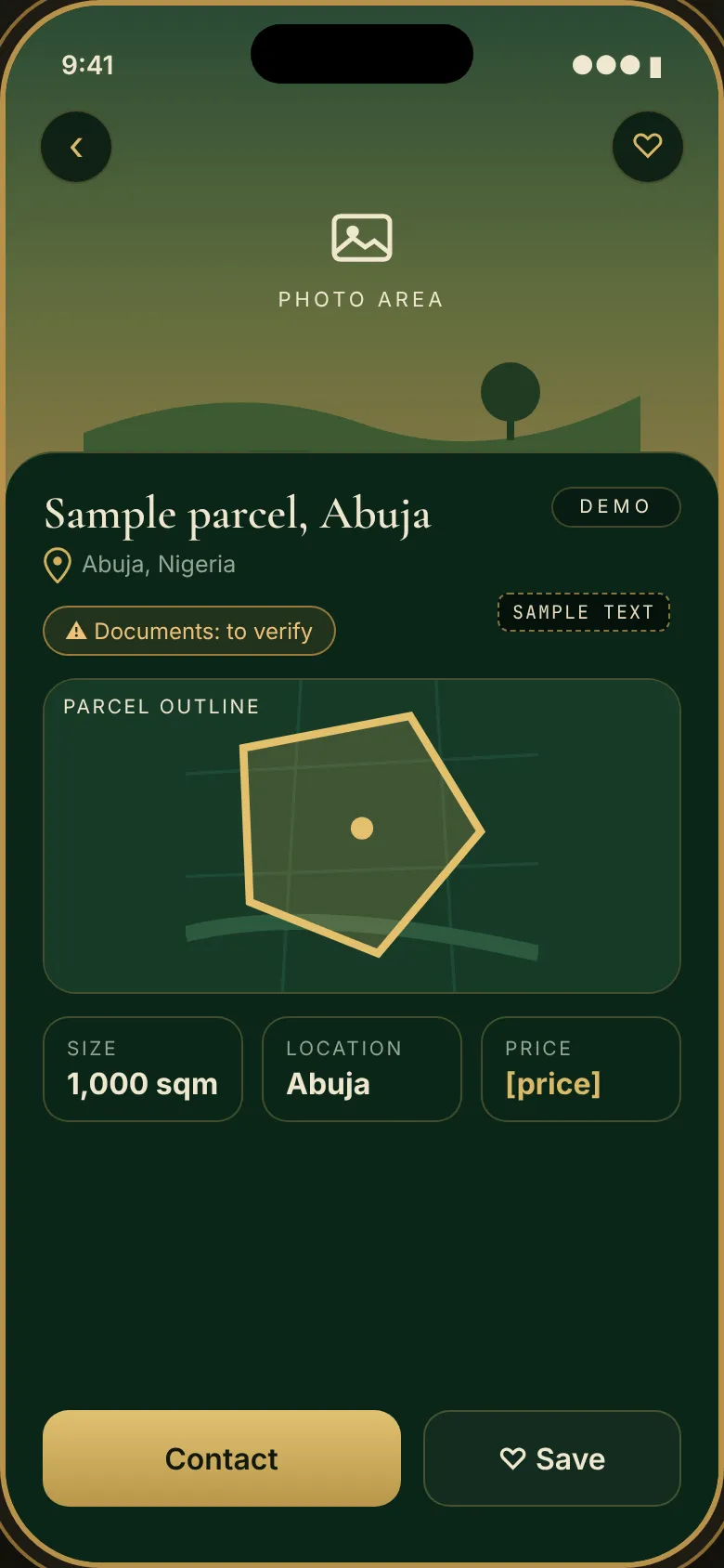
Plot identifier, location, size, land use and district; the current holder derived from the chain of title; encumbrances, conflicts and risk flags; and the verification status of each document, with an exportable due diligence report.
Saved searches and alerts
Save an area or a filter and get notified when a new listing, a status change or a new conflict appears.
Listings
Agents and owners can list parcels for sale or lease, linked to the parcel record and its verification status.
Built for real conditions
A gold and green map on a dark base, readable on low end phones and in bright sunlight.
Verification status on every document
A first look.
Screens from our October 2026 design drafts. All parcels, prices and text shown are samples.
Where things stand.
Web demo
Open in any browser and installable to your home screen. Sample data only.
Launch the demoiOS and Android
Native projects are prepared. Store listings are not live yet.
Abuja pilot
Our target launch window for the first release is November 15 to 20, 2026, for a defined pilot area of Abuja.
Talk to us about AfriqueLand.
For investor conversations, partnership enquiries or a walkthrough of the product, reach us by email.
Email us mike@newlineinvest.com